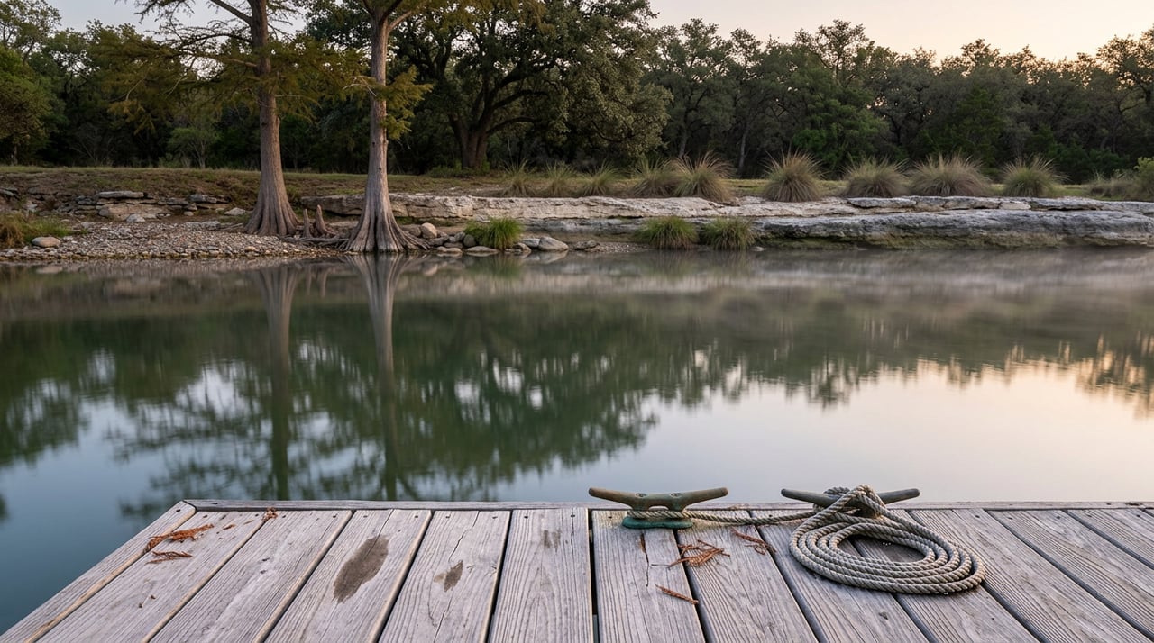
The story making the rounds since late August is simple: Lake Austin has a hydrilla problem, and the city is finally doing something about it. Boat owners are relieved. Shoreline property owners who have been asking for a drawdown since last summer are calling it a win. It is a tidy narrative, and it is mostly wrong about the reason.
The Lower Colorado River Authority and the City of Austin will lower Lake Austin by about ten feet this October and November, the first drawdown since 2017. That part is true and worth planning around if you live in River Place. What is less widely reported is that the city's own review of past drawdowns found they do not reliably control hydrilla, and could even help it spread by knocking back the native vegetation that competes with it. The real reason for this drawdown is shoreline and dock maintenance access, not weed control. And because River Place sits at the far upper end of the lake, just below Mansfield Dam, the mechanics of this drawdown may play out differently on your stretch of shoreline than the headline numbers suggest.
What The City And LCRA Actually Announced
On August 20, LCRA and the city jointly announced the drawdown will run from October 12 through November 30. The lake will drop no more than about a foot per day starting October 12, with the full decline taking roughly three weeks to reach its target range of 481.8 to 482.8 feet above mean sea level, measured at Tom Miller Dam. Refilling begins November 24, with water released from Lake Travis at up to two feet per day, bringing the lake back to its normal operating range by the end of the month.
Public boat ramps on Lake Austin will close for the entire window. Swimming will be prohibited at Emma Long Metropolitan Park, which sits just west of River Place. The city is hosting a community open house on September 9, from 6 to 8 p.m., at the Permitting and Development Center on Wilhelmina Delco Drive, where residents can ask questions about the drawdown process and the permitting required for dock or bulkhead repairs during the window.
The numbers behind this are bigger than they first appear. A ten-foot drawdown moves about 13,000 acre-feet of water. Refilling Lake Austin from Lake Travis will drop Lake Travis itself by roughly nine inches, a small but real reminder that this narrow, heavily developed stretch of the Colorado River is tied directly to the reservoir that supplies much of the region's water.
The Fix Everyone Assumes, And What The Record Actually Shows
Property owners and businesses along the lake started pushing for a drawdown last year, citing a resurgence of hydrilla, the invasive aquatic plant that clogs boat slips and coves. Eric Moreland, with the advocacy group Friends of Lake Austin, put the case plainly last October: "We want to be proactive versus reactive."
That framing stuck. But a 2025 Austin Watershed Protection memorandum reviewed the historical record and reached a different conclusion: drawdowns have not proven effective at controlling hydrilla, and in some cases they may make things worse by removing the native plants that would otherwise compete with it. The city has acknowledged this directly. Herbicide use is off the table on Lake Austin because the reservoir supplies two of Austin's drinking water treatment plants, and the long-term hydrilla strategy the city continues to lean on is the periodic release of sterile grass carp, not lake levels.
So why proceed with a drawdown at all? Because lowering the lake gives shoreline property owners a rare window to inspect, repair, and maintain docks, bulkheads, and boat slips, and it lets Austin Fire and Austin Parks and Recreation complete maintenance that is otherwise underwater. That is a legitimate and useful reason. It is just a different reason than the one getting repeated in most of the coverage.
| The story circulating | What the city's own review found |
|---|---|
| Lowering the lake will fix the hydrilla problem | Historical drawdowns have not reliably controlled hydrilla and could reduce competing native vegetation |
| This is primarily an environmental intervention | The primary driver is dock, bulkhead, and shoreline maintenance access |
| Grass carp are a backup plan | Grass carp remain the city's stated primary long-term hydrilla strategy |
Why River Place Sits In The Exception Zone
Here is the detail that matters most if your dock, slip, or shoreline sits along River Place's stretch of Lake Austin. The lake's official lowered target, 481.8 to 482.8 feet, is measured at Tom Miller Dam, near the downtown end of the lake. River Place sits at the opposite end, just below Mansfield Dam, where Lake Travis empties into Lake Austin.
LCRA has been explicit that during the drawdown, it may release water from Mansfield Dam from time to time, either to maintain the lowered level downstream or to pass water through to meet demand elsewhere. When that happens, water levels at the upper end of the lake can sit higher than the official range being reported for the rest of the lake. In practical terms, the ten feet you read about in the news release is a downstream number. What your dock actually sees this fall depends on how often and how much water LCRA is passing through from Travis during those six weeks.
This is not a reason to assume nothing will change along River Place's shoreline. It is a reason to verify conditions locally rather than plan dock or bulkhead work around the citywide target alone. If you are hoping to use the drawdown window to get under a dock or clear debris around a boat slip, the open house on September 9 is the place to ask specifically about expected conditions at the upper end of the lake, since the general public messaging is built around the Tom Miller Dam gauge.
What You'll Actually Notice Around The Neighborhood
River Place was built around its country club and its access to Lake Austin, bordered by RR 2222 to the north, the Balcones Canyonlands Preserve to the west, and the lake itself to the south. The neighborhood's two parks sit close to the water. Woodlands Park, at the bottom of Big View Drive, sits along the shores of Panther Hollow, right where the neighborhood's trail network meets Lake Austin. Sun Tree Park, at the intersection of Big View Drive and River Place Boulevard, is set back from the shoreline but close enough that lower lake levels will change the view from the nature trails threading past it.
Expect to see more exposed shoreline along Panther Hollow and around the marina than you're used to this time of year, along with mud flats and rockier banks where the water usually sits. If you walk the Panther Hollow, Canyon, Fern, or Little Elm trails regularly, October and November will look different underfoot near the water's edge. None of this is unusual for a drawdown. It is just the first time most current residents have seen it, since the last one was in 2017.
A few dates worth putting on the calendar:
- September 9: City open house, 6 to 8 p.m., Permitting and Development Center, Meeting Room 1407
- October 12: Drawdown begins, dropping no more than a foot per day
- Early November: Lake expected to reach its lowered range, conditions permitting
- November 24: Refill begins from Lake Travis
- November 30: Lake Austin expected back at normal operating range
If You've Been Meaning To Fix A Dock
The city is preparing a dedicated Site Plan Exemption permit application specifically for minor dock and bulkhead repairs during this drawdown, meant to be simpler than the standard process. That application was still being finalized as of the August announcement, with details expected on the city's Lake Austin project page in the coming weeks. If a repair has been sitting on your list, this is the window, but the smart move is to attend the September 9 open house first, ask the city directly what the upper-lake conditions are expected to look like near Mansfield Dam, and get your permit paperwork moving before October 12 rather than after.
Lake Austin drawdowns used to happen more often, but only one has occurred since 2011. Whatever your dock needs, you may be waiting until the next one if you let this six-week window pass without a plan.
None of this changes what makes River Place worth living in, a country club community with lake access, wooded trails, and a rare combination of quiet and proximity to the rest of Austin. It just means this particular fall comes with some homework if you use the water.
Propertysmith Realty has spent years tracking the details that actually affect daily life in West Austin's lake and hill country communities, not just the headlines. If you're weighing a move in or out of River Place and want a read on how a home's specific spot on the lake affects its value, request your personalized home valuation and we'll walk through it with you.